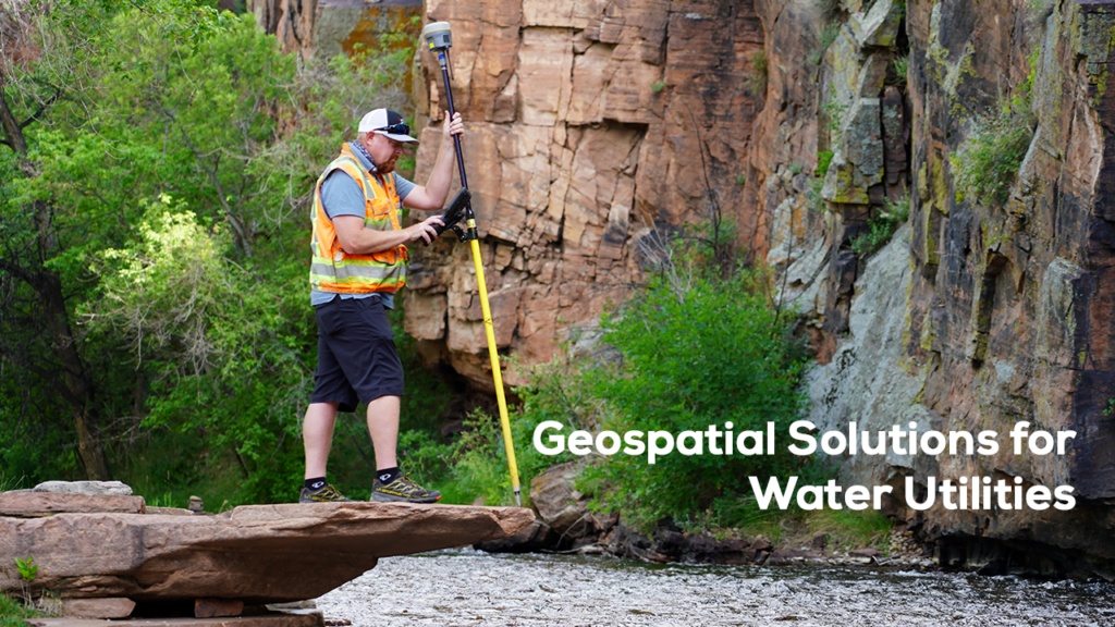
Water utility is an area, where operations need to be managed more effectively, resources are required to be optimised, and provided a better service to their customers.AllTerra India’s Trimble range of solutions offer a range of technologies that can help water utilities to manage their infrastructure and operations more effectively.
Some of the key geospatial solutions for water utilities include:
Geographic Information Systems (GIS):
GIS technology enables utilities to map and analyze their water distribution systems, including pipes, valves, hydrants, and other assets. GIS tools can help water utilities companies identify areas requiring maintenance or repair, optimize routing for repair crews, and manage water quality.
Remote Sensing:
Remote sensing technology can be used to monitor and manage water resources, including water availability, quality, and usage. Remote sensing data can be used to identify areas that require additional monitoring, identify changes in land use that impact water resources, and track changes in water quality over time.
Asset Management:
Geospatial solutions can help water utilities companies to manage their assets, including water treatment plants, pumping stations, and distribution systems. By mapping and analyzing assets, utilities can identify areas that require maintenance or replacement and optimize the allocation of resources.
Leak Detection:
Geospatial tools can be used to detect leaks in water distribution systems. By analyzing water pressure and flow rates data, water utilities companies can identify areas where leaks may occur and take proactive steps to reduce water loss.
Emergency Planning:
Geospatial solutions can be used to plan for and respond to emergencies, including natural disasters, system failures, and other events that impact water supply. Water utilities companies can develop emergency response plans and allocate resources more effectively by mapping the water distribution system and analyzing data on potential hazards and risks
Click here to read more about Trimble’s water utility solutions
The integration of geospatial technologies in water utilities brings about an era of smart management, where resources are optimized, service delivery is enhanced, and water systems become more resilient. AllTerra India’s suite of Trimble solutions provides the tools needed to modernize water utility management, making operations more efficient, sustainable, and customer-centric.


