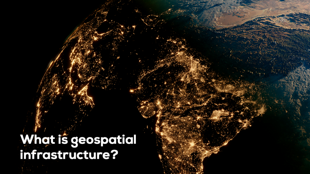
India’s rapid urbanization and infrastructure development have significantly increased the demand for accurate and efficient land surveying techniques. Among the latest advancements, 3D laser scanning has emerged as a game-changing technology, providing high precision and comprehensive spatial data for land mapping, construction, and heritage conservation.
Introduction
In the evolving field of land surveying, 3D laser scanning has emerged as a revolutionary technology, offering unprecedented accuracy and efficiency. Traditional surveying methods, while effective, often require extensive time and labor. With 3D laser scanning, surveyors can quickly and accurately capture detailed spatial data, transforming how land assessments, infrastructure planning, and construction projects are conducted.

What is 3D Laser Scanning?
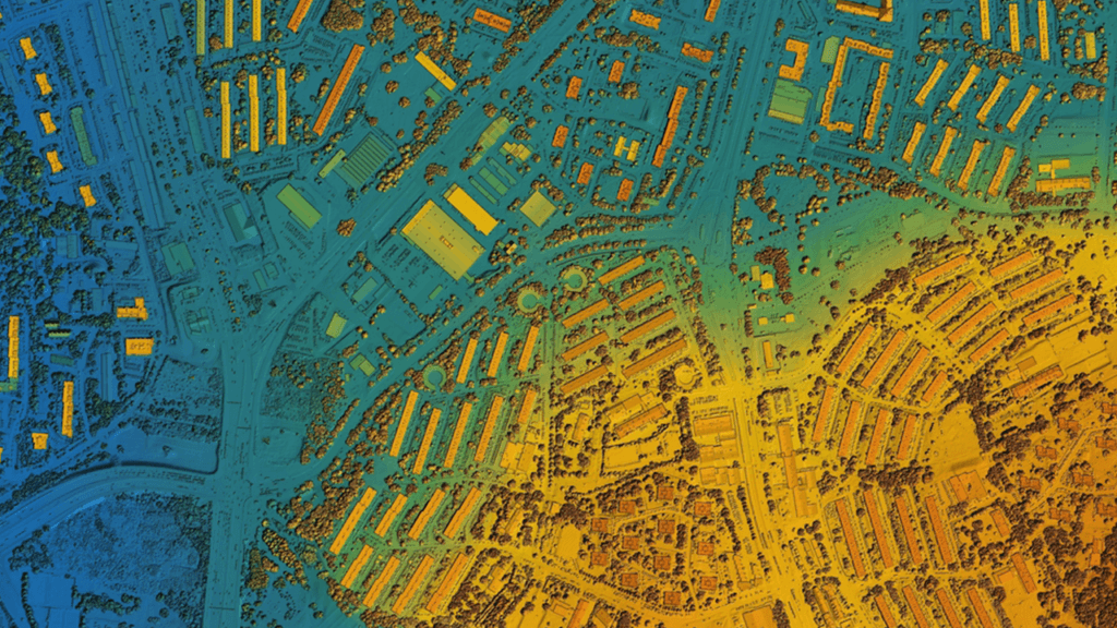
3D laser scanning, also known as LiDAR (Light Detection and Ranging), is a technology that uses laser pulses to measure distances between the scanner and surrounding objects. These pulses create a dense point cloud, which forms a highly detailed and accurate three-dimensional representation of the surveyed environment. The data collected can be used to create topographic maps, digital elevation models, and 3D models of structures and landscapes.
Advantages of 3D Laser Scanning in Land Surveying
1. High Precision and Accuracy
One of the most significant benefits of 3D laser scanning is its ability to capture precise measurements with minimal error. Traditional methods may be prone to human errors, while laser scanning ensures accuracy within millimeter range.
2. Time Efficiency
Compared to conventional surveying techniques, laser scanning drastically reduces the time required to collect data. Surveyors can scan large areas in a fraction of the time, minimizing disruptions in construction and development projects.
3. Comprehensive Data Collection
3D laser scanners collect a vast amount of data, providing a complete and detailed representation of the surveyed site. This comprehensive dataset allows for in-depth analysis and improved decision-making.
4. Enhanced Safety
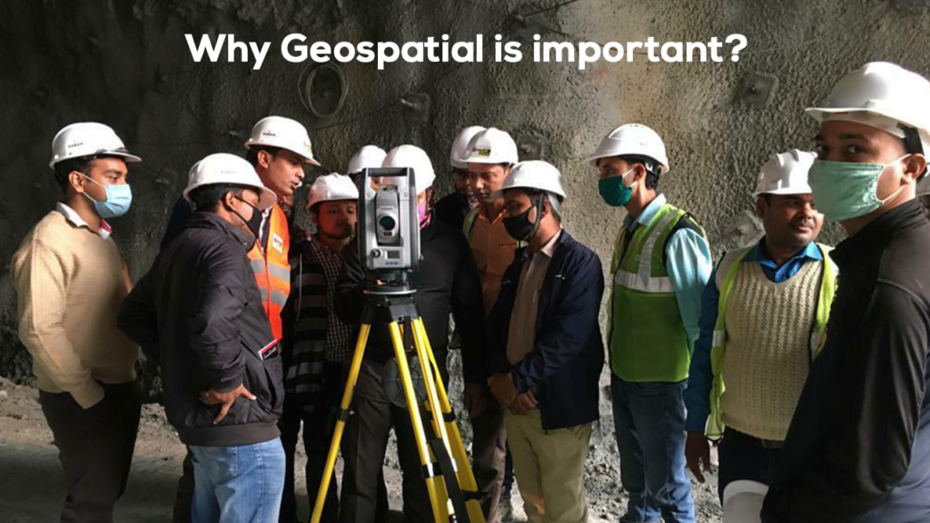
Surveying hazardous or hard-to-reach areas, such as cliffs, busy highways, or unstable structures, becomes safer with laser scanning. Since data collection can be performed from a distance, surveyors reduce their risk of exposure to dangerous environments.
5. Cost-Effectiveness
While the initial investment in 3D laser scanning technology can be high, the long-term savings in time, labor, and potential rework costs make it a cost-effective solution for many surveying projects.
Applications of 3D Laser Scanning in India
1. Infrastructure and Smart Cities
- Used in road, rail, and metro projects for alignment planning and monitoring.
- Supports India’s Smart Cities Mission by providing geospatial data for urban development.

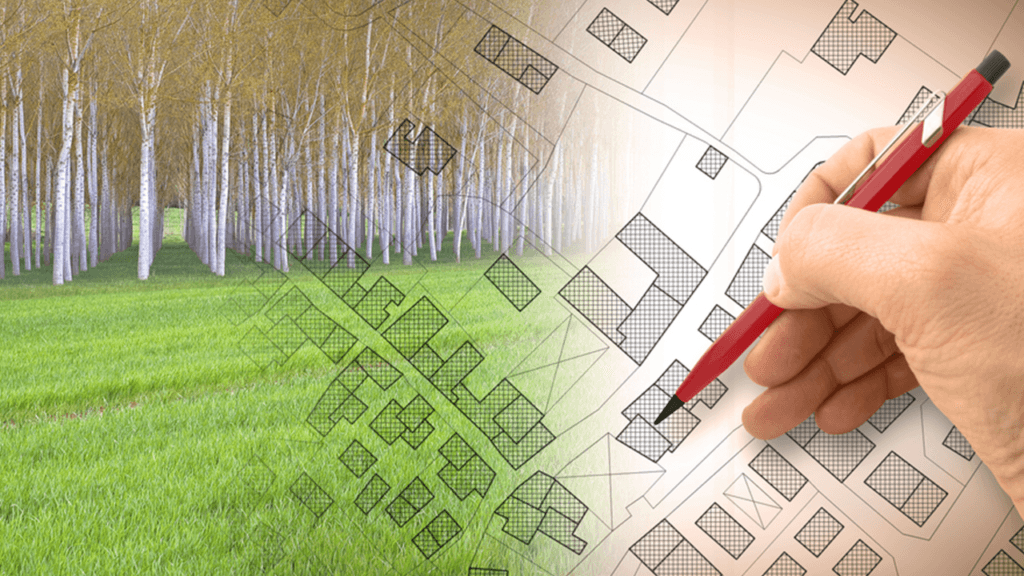
2. Land and Topographic Surveys
- Assists in precise mapping for land records, property boundaries, and rural development initiatives.
- Helps resolve land disputes by providing accurate terrain data.
3. Heritage and Archaeological Preservation
- Enables digital documentation and conservation of historical monuments like the Taj Mahal and ancient temples.
- Prevents physical damage by reducing direct human intervention in sensitive areas.

4. Disaster Management and Environmental Monitoring
- Assists in floodplain mapping, landslide analysis, and disaster preparedness.
- Aids in forest and wildlife monitoring to support environmental sustainability efforts.

Challenges and Future of 3D Laser Scanning in India
While 3D laser scanning offers numerous advantages, challenges such as high initial costs, lack of trained professionals, and infrastructure limitations hinder its widespread adoption. However, with government initiatives like Digital India and increasing investments in geospatial technology, the future of 3D laser scanning in India’s land surveying sector appears promising.
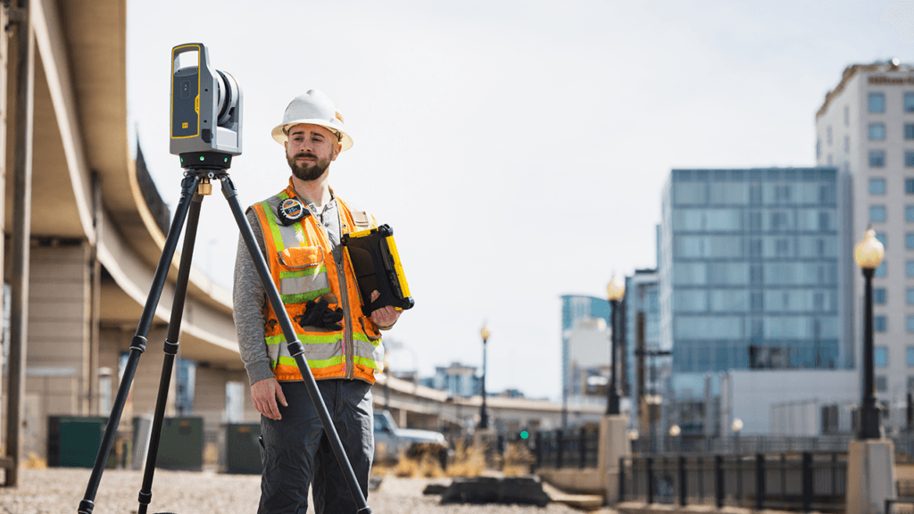
Here’s a look at Trimble’s 3D Laser Scanning Systems. Whether you’re delivering scan data of as-built conditions, performing comprehensive data analysis or creating a renovation model based on an existing structure, Trimble 3D scanning solutions provide accuracy, range and durability with easy to use software for control and review of your scan data in the field
Future of 3D Laser Scanning in Surveying
As technology continues to advance, 3D laser scanning is expected to integrate with artificial intelligence (AI) and Geographic Information Systems (GIS), further enhancing its applications. The adoption of drone-mounted laser scanners is also increasing, allowing for even more efficient and extensive surveying capabilities.
Conclusion
3D laser scanning has transformed modern land surveying, offering high accuracy, efficiency, and safety. As the technology continues to evolve, it will play an even more critical role in shaping the future of infrastructure, construction, and environmental management. Surveying professionals who adopt this technology will gain a competitive edge, delivering better results in less time while reducing costs and risks.