India’s growing infrastructure and urbanization have increased the demand for precise and efficient land surveying techniques. Two widely used methodologies are Global Navigation Satellite System (GNSS) surveying and traditional surveying, which includes total stations, theodolites, and leveling instruments. This article explores the advantages, limitations, and applications of both technologies in the Indian context.
Introduction
Surveying plays a crucial role in construction, mapping, and land development, with technological advancements significantly transforming the field. Two of the most commonly used surveying methods are Global Navigation Satellite System (GNSS) surveying and traditional surveying techniques, such as total stations and leveling instruments. Each method has its strengths and is suitable for specific applications. This article explores the differences between GNSS and traditional surveying, highlighting when to use each technology.
Understanding GNSS Surveying
GNSS surveying relies on satellite signals to determine precise positions on Earth. It includes systems such as GPS (United States), GLONASS (Russia), Galileo (European Union), and BeiDou (China). Surveyors use GNSS receivers to collect geospatial data, often employing techniques such as Real-Time Kinematic (RTK) and Post-Processing Kinematic (PPK) for enhanced accuracy.
Here’s a look at Trimble’s Offering: Trimble GNSS Systems | Trimble Geospatial

Advantages of GNSS Surveying
- Wide Area Coverage – GNSS allows for surveying over large and remote areas without the need for intervisibility between survey points.
- Time Efficiency – Reduces fieldwork duration compared to traditional methods, especially for large-scale projects.
- Minimal Setup Requirements – Eliminates the need for complex instrument setups, making it ideal for rapid data collection.
- Adaptability – Useful in various applications, including agriculture, infrastructure development, and environmental monitoring.
Limitations of Traditional Surveying
- Time-Consuming – Requires more manpower and longer data collection times.
- Limited Range – Requires line-of-sight between survey points, restricting use in large areas.
- Labor-Intensive – Fieldwork can be physically demanding and require multiple surveyors.
When to Use GNSS vs. Traditional Surveying
Choosing the appropriate surveying method depends on the project requirements, environment, and accuracy needs:
| Scenario | Recommended Technology |
| Large-scale land surveys | GNSS |
| Remote and difficult terrains | GNSS |
| Urban or forested areas with obstructions | Traditional Surveying |
| High-precision construction layout | Traditional Surveying |
| Infrastructure projects needing fast data collection | GNSS |
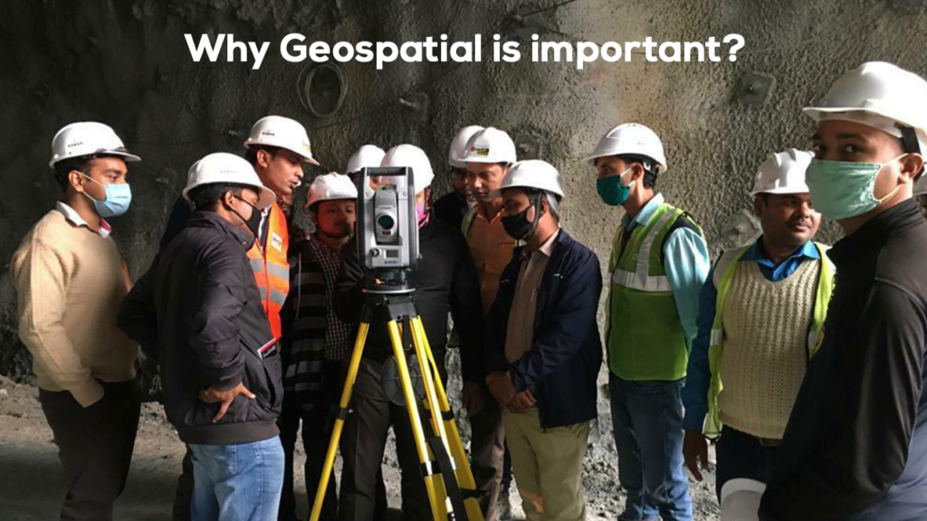
| Indoor or underground surveys | Traditional Surveying |
| Boundary and cadastral surveys | Traditional Surveying or GNSS (with corrections) |
Conclusion
Both GNSS and traditional surveying have their place in modern geospatial applications. GNSS excels in covering large areas efficiently, while traditional methods provide superior accuracy in obstructed environments. Surveyors should carefully assess project needs and environmental constraints to determine the best approach, often integrating both technologies for optimal results.