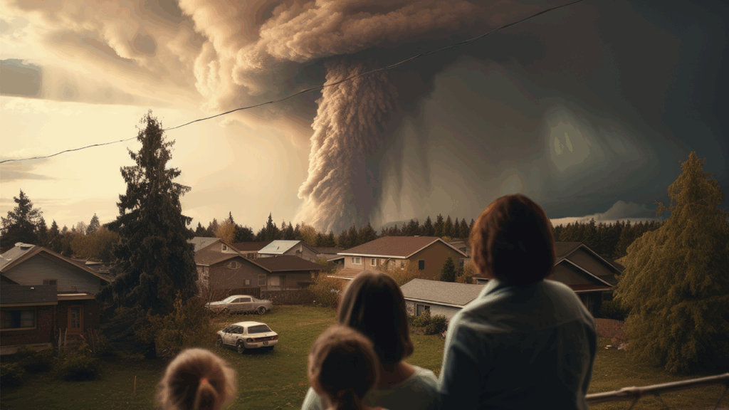
In an era marked by increasingly frequent and severe natural disasters, timely and informed decision-making is critical. Whether it’s floods, wildfires, earthquakes, or hurricanes, managing these events and mitigating their impact requires a deep understanding of geography, infrastructure, and human behavior. This is where geospatial technology plays a transformative role.
India is one of the most disaster-prone countries in the world, facing frequent floods, cyclones, earthquakes, droughts, and landslides. With its vast geography and diverse terrain, managing these natural hazards effectively requires not just timely action but precise location-based intelligence. That’s where Geographic Information Systems (GIS) and geospatial technology play a critical role.
From early warning to damage assessment and long-term resilience planning, GIS is the backbone of India’s disaster management strategy, enabling smarter, faster, and more effective responses.
What is Geospatial Technology?
Geospatial technology encompasses tools like Geographic Information Systems (GIS), Remote Sensing, GPS, and drones, which collect, analyze, and visualize data tied to specific locations. These technologies enable governments, disaster response teams, and planners to prepare for, respond to, and recover from disasters more effectively.
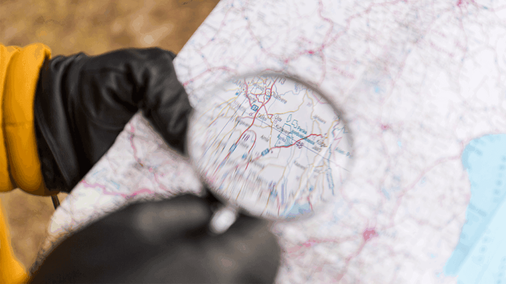
1. Risk Assessment and Hazard Mapping
Before a disaster even strikes, geospatial tools help identify vulnerable areas and populations:
- Hazard maps can show flood zones, earthquake fault lines, wildfire-prone regions, and more.
- Risk models use historical data and terrain analysis to estimate the likelihood and severity of disasters.
- Population density overlays help assess who might be most affected.
This kind of proactive planning enables communities to implement zoning laws, build resilient infrastructure, and prioritize emergency preparedness.
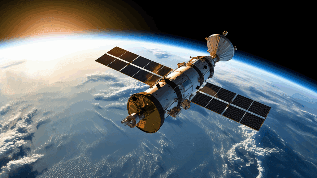
2. Real-Time Monitoring and Early Warning
- Remote sensing and satellite imagery provide real-time data during unfolding events. For example:
- Satellites can monitor wildfire spread or cyclone movement.
- Drones can assess damage in areas inaccessible to ground teams.
- GPS sensors can detect seismic shifts, triggering early earthquake warnings.
- This data supports early warning systems, which can save lives by giving people time to evacuate or take protective actions.
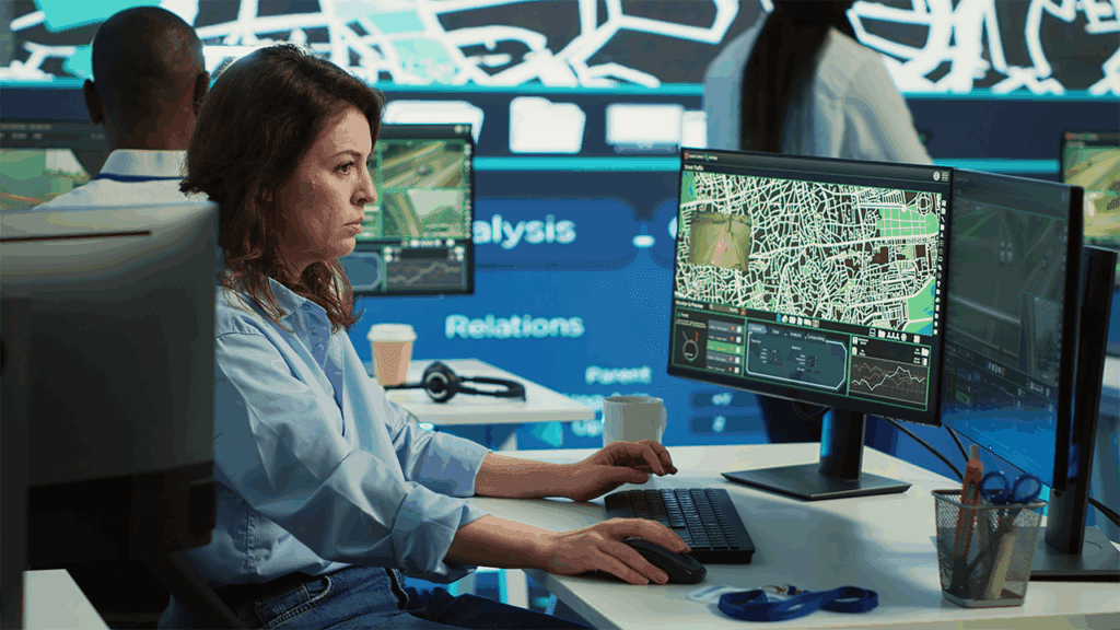
3. Emergency Response Coordination
When disaster strikes, geospatial technology is a critical coordination tool:
- GIS dashboards display the real-time status of roads, shelters, hospitals, and affected areas.
- Emergency responders use digital maps to plan evacuation routes and allocate resources.
- Crowd-sourced data (e.g., from mobile apps) can help track needs and conditions on the ground.
A centralized geospatial platform ensures that all agencies—from fire departments to humanitarian groups—are working from the same playbook.

4. Post-Disaster Damage Assessment
After the immediate threat has passed, geospatial tools help evaluate the impact:
- High-resolution imagery compares pre- and post-event landscapes.
- Damage to buildings, roads, and utilities is mapped quickly.
- Insurance companies and relief organizations use this data for claims processing and aid distribution.
Rapid assessment allows for faster recovery, rebuilding, and future resilience planning.
5. Long-Term Resilience and Mitigation Planning
Geospatial technology isn’t just reactive—it’s essential for long-term disaster mitigation:
- Urban planners use it to redesign vulnerable infrastructure.
- Governments analyze past disasters to improve building codes and emergency plans.
- Communities can simulate different disaster scenarios and plan accordingly.
Over time, this leads to smarter development and reduced vulnerability to future disasters.
Conclusion
Geospatial technology is a cornerstone of modern disaster management and risk assessment. From forecasting and early warning to emergency response and recovery, it empowers decision-makers with the insights needed to act swiftly and effectively. As climate change continues to intensify natural hazards, investing in and integrating geospatial tools is not just beneficial—it’s essential for building safer, more resilient communities.