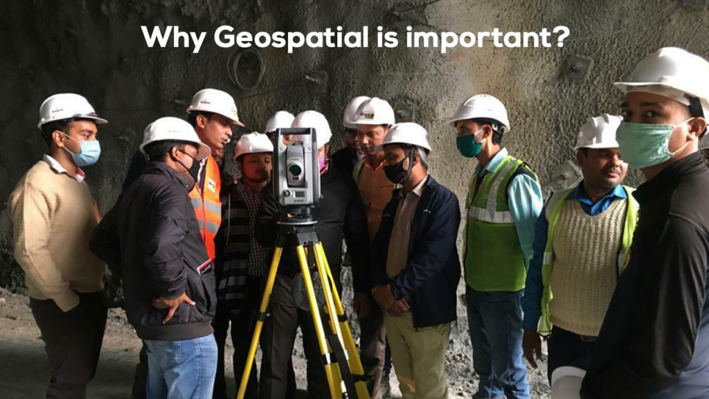
Trends are important, but in practical survey work, following rigorous procedures is what yields reliable results. Below are established best practices drawn from geodetic institutions, experienced surveyors, and published guidelines.
Pre-Survey Planning & Site Setup
- Verify datum, ellipsoid, epochs, coordinate systems up front. Confirm that the project and local control frames match.
- Establish stable control points. Use permanent monuments or well-surveyed local benchmarks.
- Site calibration / localization. Especially when merging GNSS with legacy control, compute transformation parameters (translation, rotation, scale) to align your network.
- Check atmospheric / ionospheric conditions. Ionospheric disturbances (solar storms) can degrade performance.
- Plan for redundancies. Have fallback methods or redundant observations to detect blunders
Field Data Collection Tips
- Optimal satellite geometry (PDOP/HDOP): Avoid poor geometry situations or wait for better satellite configuration.
- Avoid obstructions & multipath: Choose clear sky views, avoid reflective surfaces or deep pits if possible.
- Observation durations: For static or occupation surveys, longer observation times reduce random error. For RTK, ensure sufficient fix time before trusting positions.
- Repeated observations: Observe the same point multiple times (e.g. morning/afternoon) to check consistency.
- Monitor signal quality & flags: Use the receiver’s diagnostics (SNR, cycle slips) to spot problematic data.
- Use appropriate logging rates & sampling: Do not oversample unnecessarily; but for dynamic work, sample intervals matter.
- Use base station(s) wisely: Position base stations for optimal coverage; minimize baseline length.
- Communication links: For RTK or networked work, ensure stable connectivity (radio, cellular) to base or network.
Post-Processing & Quality Assurance
- Check internal consistency / closure errors: Loop closures, baseline discrepancies.
- Outlier detection and filtering: Remove observations with high residuals or cycle slips.
- Transformation / datum alignment: Apply your site calibration or transformation parameters to reconcile data into the required frame.
- Apply corrections (ionospheric, tropospheric models): Many GNSS toolsets provide models or use augmentation to refine data.
- Document metadata / logs: Station metadata, observation times, satellite geometry, atmospheric data, etc.
- Validation using independent control: Cross-check with known control monuments or redundant measurements.
Workflow & Process Controls
- Standard operating procedures (SOPs): Document how you conduct field work, checks, and processing.
- Training & quality audits: Regular skill refreshers for survey teams; peer reviews of data.
- Version control & backups: Maintain versions of data and backups at every stage.
- Error budgets & tolerances: Define acceptable error margins before starting work.
- Traceability & reporting: Keep logs and records to support audits, legal, or contractual verification.
Here’s a perspective on how Trimble is transforming how surveyors work.
For any queries, feel free to reach out to us on info@allterra.co.in