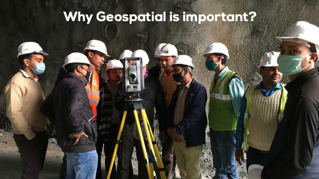
In the world of modern geospatial work, hardware often steals the spotlight. High-accuracy GNSS receivers. Robotic total stations. 3D laser scanners. Mobile mapping systems. UAVs. But as any GIS professional knows, hardware alone doesn’t deliver geospatial intelligence. It only captures raw reality.
The true transformation happens when field data is structured, validated, enriched, and connected, and that’s where field software becomes indispensable. It acts as the invisible bridge between the physical world and the digital ecosystems where geospatial decisions are made.
1. Field Software Brings Structure to Raw Field Capture
GIS hardware captures coordinates, attributes, images, scans, and observations — but without the right software, this information is simply unorganized data.
Field software:
- Applies feature codes, domains, and schema rules
- Provides intelligent forms for attribute entry
- Enforces consistency and validation
- Ensures data integrity at the moment of capture
This means your data arrives at the office not as scattered points and notes, but as GIS-ready features that already fit your enterprise data model.
2. It Enables Real-Time Decision Making in the Field
Modern GIS work isn’t just about collecting data — it’s about understanding environments in real time.
Integrated field software enables:
- Live GNSS accuracy checks
- On-device basemaps, imagery, and context layers
- Real-time feature validation
- Immediate comparison with design or existing GIS data
- The ability to route, stake, adjust, or resurvey instantly
This reduces rework, minimizes errors, and empowers field teams to make better decisions on the spot, not after they return to the office.
3. The Backbone of Field-to-Office Synchronization
In today’s connected workflows, data must flow across:
- Field crews
- Supervisors
- GIS analysts
- Project managers
- Enterprise GIS systems
- Cloud platforms and dashboards
Field software acts as the synchronization layer that ensures:
- Seamless data transfers
- Version control
- Metadata preservation
- Change tracking
- Consistent naming conventions and schemas
Without it, every project becomes a patchwork of CSVs, shapefiles, screenshots, and handwritten coordinates, a recipe for inefficiency and risk.
4. Hardware is Powerful: Field Software Unlocks that Power
Even the best GNSS receiver or scanner cannot deliver value if:
- Its data can’t be interpreted
- Its formats don’t match office workflows
- Its precision isn’t documented
- Its metadata isn’t preserved
- Its results can’t be verified
Field software ensures your hardware investment translates into accurate, usable, traceable GIS data.
For example:
- A high-precision GNSS rover without feature coding is just a point-collector.
- A laser scanner without in-field registration is just a storage device.
- A mobile GIS unit without forms is just a camera with coordinates.
Field software transforms hardware from a sensor into a workflow engine.
5. Integration Creates the Connected Geospatial Professional
GIS today demands more than static maps — it requires:
- Live updates
- Asset intelligence
- Field validation
- High-frequency data collection
- Rapid data turnaround
- Reporting directly from the field
Field software enables these capabilities by connecting hardware, cloud platforms, and office GIS tools into a single continuous workflow.
This means GIS professionals can:
- Capture → Validate → Sync → Edit → Publish
All within one connected ecosystem.
That is how modern organizations achieve reliable, scalable geospatial operations.
6. The Future of GIS Will Be Built on Field Software
As the industry moves toward:
- Real-time GIS
- Digital twins
- Smart cities
- Infrastructure monitoring
- Asset lifecycle management
- Mixed-sensor geospatial capture
- AR/VR visualization
…the importance of field-software-driven integration will only grow.
Tomorrow’s GIS environments will depend on software that can:
- Stream data directly from sensors
- Integrate GNSS, imagery, LiDAR, and IoT inputs
- Push data into cloud-native spatial databases
- Maintain an end-to-end digital chain of custody
Field software is not just a companion to hardware, it is the foundation of connected geospatial intelligence.
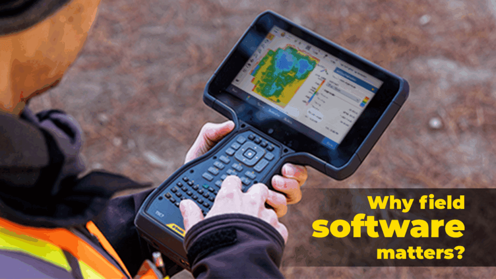
Trimble Access
Trimble Access is a leading field software used by professional surveyors around the world.
Here’s how it works: Trimble Access | Field Software | Trimble Geospatial
GIS professionals thrive on accurate, timely, complete, and actionable spatial data. Field hardware may collect it, but field software makes it meaningful.
It is the crucial link that ensures every observation, every scan, and every coordinate becomes part of a trusted geospatial ecosystem, ready for analysis, decision-making, and long-term asset intelligence.