AllTerraIndia

Role of Geo-Spatial Technology (GIS) in Water Resource Management

Water is a critical resource for agriculture, industry, and daily consumption, making its efficient management essential for sustainable development. As groundwater becomes an increasingly vital source of irrigation, drinking water, and industrial use, its overuse in certain regions poses significant challenges. Geographic Information System (GIS) technology has emerged as a powerful tool to tackle these […]

Role of Geo-Spatial Technology (GIS) in Water Resource Management Read More »

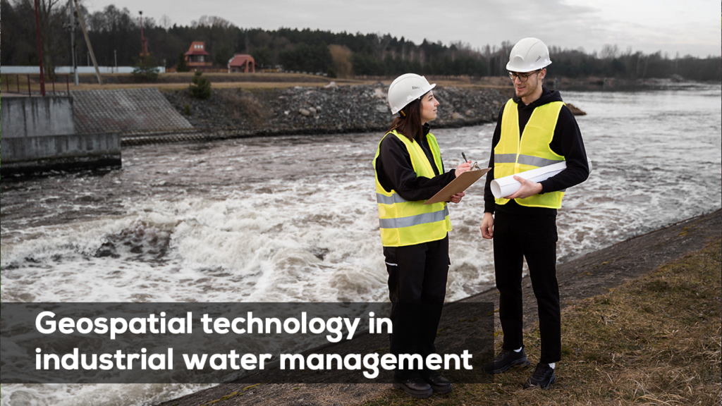
Geospatial technology in industrial water management

India’s rapid industrialization is driving an ever-increasing demand for water, with industrial water consumption growing by approximately 2 percent annually. Major industrial development projects such as the Delhi-Mumbai Industrial Corridor (DMIC) and the Chennai-Bangalore Industrial Corridor (CBIC) are intensifying this need, creating a pressing demand for effective water management strategies. However, current industrial policies often

Geospatial technology in industrial water management Read More »

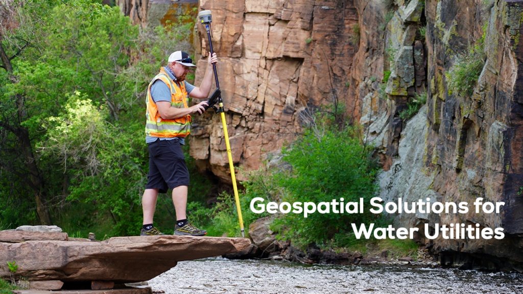
Geospatial methods for water management monitoring and mapping

Water conservation is crucial for India’s sustainable future. Geospatial technologies offer valuable insights by pinpointing areas with high water usage and providing strategies to optimize it. In agriculture, where irrigation plays a vital role, GIS can identify inefficiencies and recommend solutions to enhance water management, ultimately supporting conservation efforts. Advanced Remote Sensing Technology: Recent advancements

Geospatial methods for water management monitoring and mapping Read More »

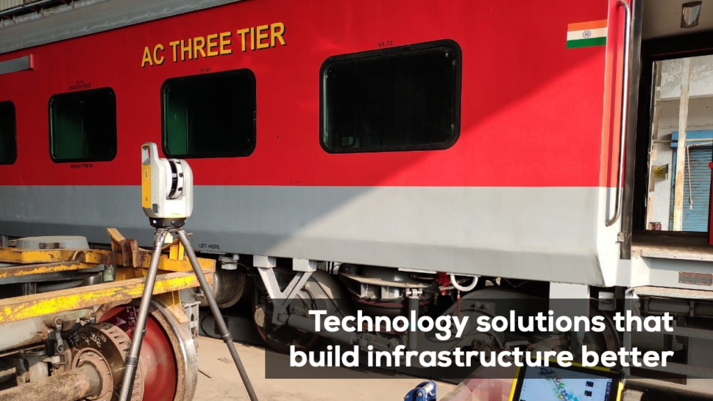
Technology solutions that build infrastructure better

As global infrastructure demands rise, the need for efficient, sustainable, and resilient development has never been greater. Modern infrastructure projects require cutting-edge technologies that not only improve the quality of construction but also ensure long-term sustainability and performance. Trimble’s technology solutions are at the forefront of this transformation, enabling better planning, design, and execution in

Technology solutions that build infrastructure better Read More »

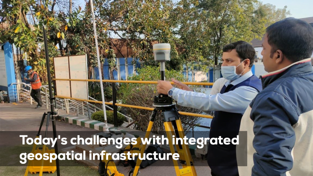
Today’s challenges with integrated geospatial infrastructure.

In a world driven by data, the ability to integrate, share, and analyze geospatial information across borders, sectors, and industries is more important than ever. Geospatial infrastructure plays a critical role in enabling seamless collaboration and data sharing, helping to solve global challenges such as climate change, disaster management, and sustainable development. Trimble is at

Today’s challenges with integrated geospatial infrastructure. Read More »

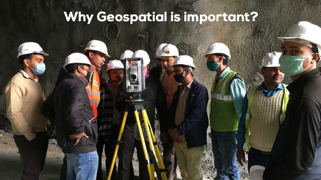
Why Geospatial is important?

In today’s fast-paced digital world, the importance of geospatial technology cannot be overstated. From urban planning to agriculture, environmental monitoring to disaster management, geospatial technologies are reshaping the way we interact with our surroundings and make critical decisions. With advancements in GIS (Geographic Information Systems), remote sensing, and positioning technologies, geospatial data has become a

Why Geospatial is important? Read More »

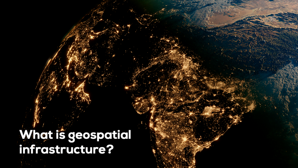
What is geospatial infrastructure?

India’s rapid industrialization is driving an ever-increasing demand for water, with industrial water consumption growing by approximately 2 percent annually. Major industrial development projects such as the Delhi-Mumbai Industrial Corridor (DMIC) and the Chennai-Bangalore Industrial Corridor (CBIC) are intensifying this need, creating a pressing demand for effective water management strategies.   However, current industrial policies

What is geospatial infrastructure? Read More »