


In a world driven by data, the ability to integrate, share, and analyze geospatial information across borders, sectors, and industries is more important than ever. Geospatial infrastructure plays a […]

In today's fast-paced digital world, the importance of geospatial technology cannot be overstated. From urban planning to agriculture, environmental monitoring to disaster management, geospatial technologies […]
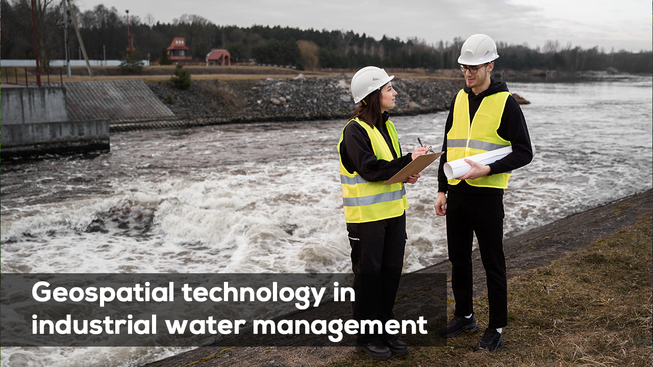
India’s rapid industrialization is driving an ever-increasing demand for water, with industrial water consumption growing by approximately 2 percent annually. Major industrial development projects […]

Global Navigation Satellite Systems (GNSS) have become foundational in surveying, mapping, construction, mining, and many geospatial workflows. But the technology is not static, innovations are continuously […]

Trends are important, but in practical survey work, following rigorous procedures is what yields reliable results. Below are established best practices drawn from geodetic […]
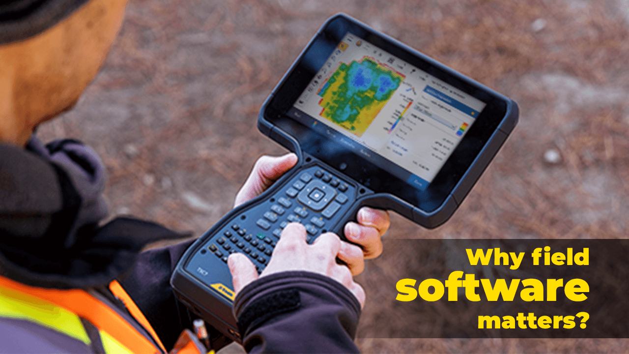
Why Field Software Matters: The Invisible Bridge Between GIS Hardware and High-Quality Geospatial Data
In the world of modern geospatial work, hardware often steals the spotlight. High-accuracy GNSS receivers. Robotic total stations. 3D laser scanners. Mobile mapping systems. UAVs. But as any GIS […]