Blogs

Why Field Software Matters: The Invisible Bridge Between GIS Hardware and High-Quality Geospatial Data

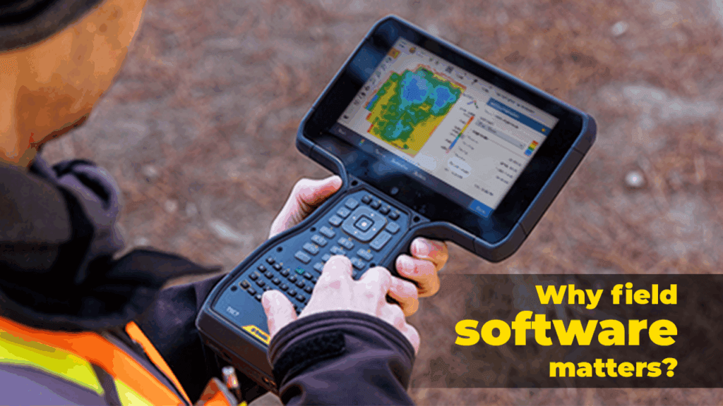
In the world of modern geospatial work, hardware often steals the spotlight. High-accuracy GNSS receivers. Robotic total stations. 3D laser scanners. Mobile mapping systems. UAVs. But as any GIS professional knows, hardware alone doesn’t deliver geospatial intelligence. It only captures raw reality. The true transformation happens when field data is structured, validated, enriched, and connected, […]

Why Field Software Matters: The Invisible Bridge Between GIS Hardware and High-Quality Geospatial Data Read More »

Best Practices for GNSS Surveying: What Every Surveyor Should Know

Best Practices for GNSS Surveying: What Every Surveyor Should Know (Part II)

Trends are important, but in practical survey work, following rigorous procedures is what yields reliable results. Below are established best practices drawn from geodetic institutions, experienced surveyors, and published guidelines. Pre-Survey Planning & Site Setup Verify datum, ellipsoid, epochs, coordinate systems up front. Confirm that the project and local control frames match. Establish stable control

Best Practices for GNSS Surveying: What Every Surveyor Should Know (Part II) Read More »

Global Navigation Satellite Systems (GNSS) have become foundational in surveying, mapping, construction, mining, and many geospatial workflows. But the technology is not static — innovations are continuously reshaping accuracy, resilience, and usability. At the same time, getting the most reliable results requires disciplined practices in the field and post-processing.

GNSS Technology Trends & Best Practices: What Every Surveyor Should Know (Part I)

Global Navigation Satellite Systems (GNSS) have become foundational in surveying, mapping, construction, mining, and many geospatial workflows. But the technology is not static, innovations are continuously reshaping accuracy, resilience, and usability. At the same time, getting the most reliable results requires disciplined practices in the field and post-processing. Emerging Trends in GNSS / PNT Multi-Constellation,

GNSS Technology Trends & Best Practices: What Every Surveyor Should Know (Part I) Read More »

How GIS Improves Land Development and Urban Planning?

In today’s rapidly urbanizing world, the need for smarter, more sustainable development has never been greater. Whether it’s planning a new residential community, improving transportation infrastructure, or managing public utilities, Geographic Information Systems (GIS) are at the heart of modern land development and urban planning. India is urbanizing at an unprecedented pace. With over 400

How GIS Improves Land Development and Urban Planning? Read More »

GNSS vs. Traditional Surveying: When to Use Which Technology

India’s growing infrastructure and urbanization have increased the demand for precise and efficient land surveying techniques. Two widely used methodologies are Global Navigation Satellite System (GNSS) surveying and traditional surveying, which includes total stations, theodolites, and leveling instruments. This article explores the advantages, limitations, and applications of both technologies in the Indian context. Introduction Surveying

GNSS vs. Traditional Surveying: When to Use Which Technology Read More »

The Role of 3D Laser Scanning in Modern Land Surveying

India’s rapid urbanization and infrastructure development have significantly increased the demand for accurate and efficient land surveying techniques. Among the latest advancements, 3D laser scanning has emerged as a game-changing technology, providing high precision and comprehensive spatial data for land mapping, construction, and heritage conservation. Introduction In the evolving field of land surveying, 3D laser

The Role of 3D Laser Scanning in Modern Land Surveying Read More »

Geospatial technology in industrial water management

India’s rapid industrialization is driving an ever-increasing demand for water, with industrial water consumption growing by approximately 2 percent annually. Major industrial development projects such as the Delhi-Mumbai Industrial Corridor (DMIC) and the Chennai-Bangalore Industrial Corridor (CBIC) are intensifying this need, creating a pressing demand for effective water management strategies. However, current industrial policies often

Geospatial technology in industrial water management Read More »

Geospatial methods for water management monitoring and mapping

Water conservation is crucial for India’s sustainable future. Geospatial technologies offer valuable insights by pinpointing areas with high water usage and providing strategies to optimize it. In agriculture, where irrigation plays a vital role, GIS can identify inefficiencies and recommend solutions to enhance water management, ultimately supporting conservation efforts. Advanced Remote Sensing Technology: Recent advancements

Geospatial methods for water management monitoring and mapping Read More »

Technology solutions that build infrastructure better

As global infrastructure demands rise, the need for efficient, sustainable, and resilient development has never been greater. Modern infrastructure projects require cutting-edge technologies that not only improve the quality of construction but also ensure long-term sustainability and performance. Trimble’s technology solutions are at the forefront of this transformation, enabling better planning, design, and execution in

Technology solutions that build infrastructure better Read More »