Geospatial
Geospatial Industry is a wide umbrella, covering almost every sector of the economy and thus playing a very crucial role in national growth as well as preservation of environment. The sectors on which Geospatial Industry has a direct bearing are: Surveying and Mapping, Transportation, Utilities, Natural Resource Management, Cadastral, Agriculture, Infrastructure and Construction, Oil and Gas, Archaeology and many more.

Track Surveying
Track Surveying is an extremely important process which directly affects human lives, livestock and goods. In this process, data along railway tracks are collected, analysed and acted upon. Its primary focus is to assess track alignment, geometry, wear and tear, and address issues of potential hazards. Indian Railways has one of the largest networks in the world, spanning over 138,000 Kms and involving a huge manpower and machinery for its smooth functioning.
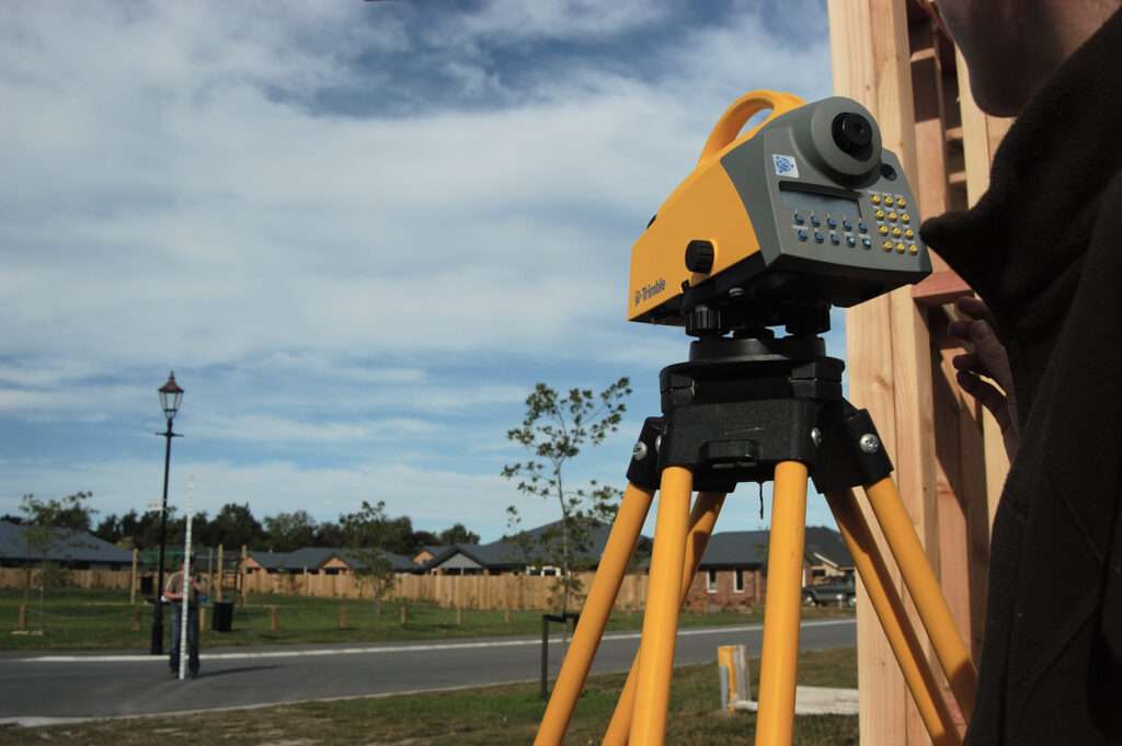
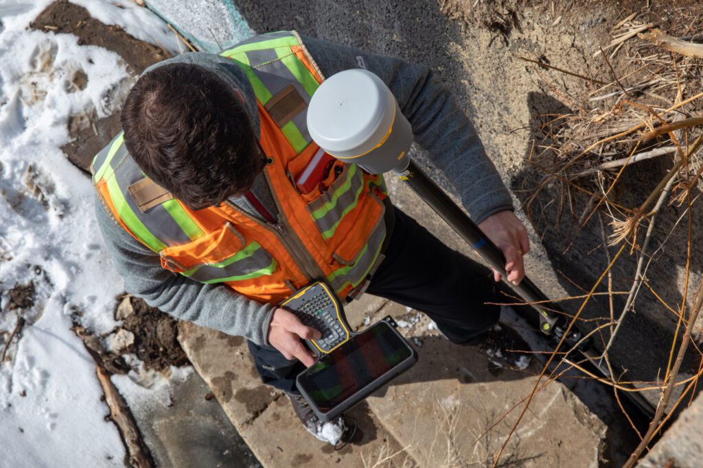
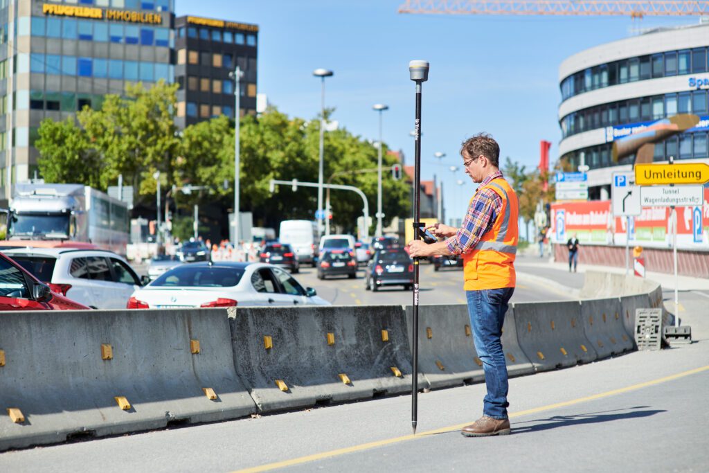
Survey and Engineering
The process of studying, measuring and collecting data on Earth’s surface is called Surveying, while Engineering is the application of scientific principles to design and build various infrastructure projects using the Survey data. Both, Surveying and Engineering go hand in hand. With its years of study conducted by astute researchers, Trimble has come up with a plethora of products that make the Surveyors’ life
Mapping and GIS
Mapping is the process of visually representing geographic data, using various legends, symbols, and colours to convey information about locations. Geographic Information Systems (GIS) is a technology that utilizes mapping to collect, analyze, and manage spatial data, assisting in better decision-making in various fields like urban planning, environmental management, and transportation.
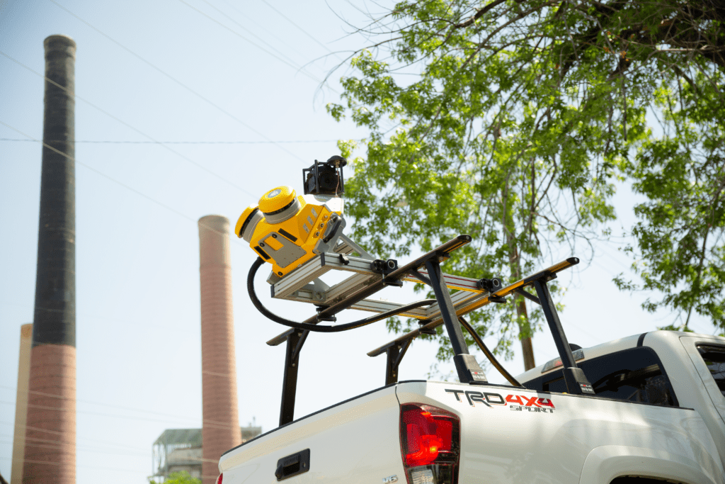
Mobile Mapping
In case of projects involving mapping of data of a widely spread geographical data, the mapping systems are mounted on vehicles to facilitate data collection. Trimble’s advanced vehicle-mounted data capture systems combine top-tier geo-referencing technologies with high-speed laser scanning and high-resolution imaging sensors. This enables the swift acquisition of vast quantities of precise spatial data, which can be converted into diverse outputs like 3D models, maps, and GIS products.