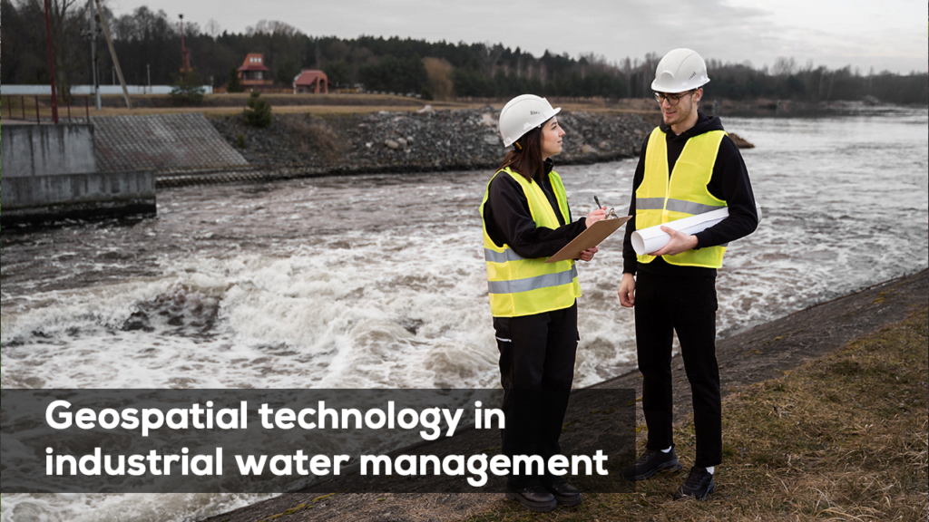
India’s rapid industrialization is driving an ever-increasing demand for water, with industrial water consumption growing by approximately 2 percent annually. Major industrial development projects such as the Delhi-Mumbai Industrial Corridor (DMIC) and the Chennai-Bangalore Industrial Corridor (CBIC) are intensifying this need, creating a pressing demand for effective water management strategies.
However, current industrial policies often prioritize land and budget allocations, while neglecting the critical element of sustainable water resource planning. This oversight has led to over-reliance on groundwater, unregulated water usage, and severe environmental consequences. To address this, geospatial technology offers promising solutions for sustainable industrial water management.
The Rising Need for Sustainable Water Management in Industry
The strain on water resources due to industrial activities not only affects local water tables but also puts significant pressure on surrounding ecosystems and communities. Industrial water management needs to evolve to ensure the careful balance between economic growth and environmental sustainability.
Challenges in Industrial Water Resource Planning
Traditional industrial water planning has faced challenges due to:
- Unregulated Groundwater Usage: Many industrial projects rely heavily on groundwater, which can lead to depletion and disrupt the local water balance.
- Environmental Impact: Overuse of water resources for industrial purposes impacts nearby agricultural areas, drinking water supplies, and the local environment.
- Lack of Real-Time Data: Water usage data, especially in the industrial sector, is often unavailable or outdated, making efficient planning difficult.
Geospatial Technology: A Key Tool for Industrial Water Management
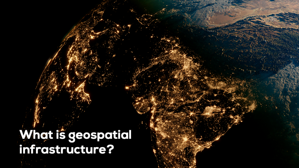
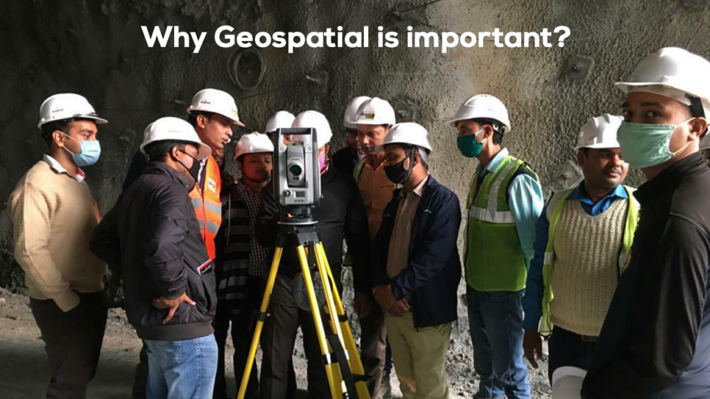
Geospatial technologies, such as Geographic Information Systems (GIS) and Remote Sensing (RS), have the potential to revolutionize water management by providing real-time data and actionable insights.
1. Geographic Information Systems (GIS)
GIS technology enables the mapping and visualization of water resources, such as groundwater levels and surface water availability, across vast industrial zones:
- Resource Mapping: By creating spatial maps of water resources, industries can plan their water usage to minimize environmental impact.
- Monitoring and Analysis: GIS allows continuous monitoring of water use, providing real-time insights into water consumption patterns, enabling companies to adjust their water intake based on availability.
- Planning and Zoning: Industrial projects can use GIS to identify optimal sites with access to sustainable water resources, reducing the need to overexploit groundwater.
2. Remote Sensing (RS)
Remote sensing provides valuable data on water quality, availability, and potential environmental changes, all of which are essential for informed water management:
- Groundwater Monitoring: RS can track groundwater depletion in industrial zones, offering visual data on changes in water levels over time.
- Water Stress Detection: By detecting environmental changes from space, remote sensing can identify regions at risk of water scarcity or pollution due to industrial activities.
- Integration with Other Data: RS data can be integrated with other systems, such as climate and rainfall data, to improve overall water resource management.
Click here to read more about Trimble’s water utility solutions
3. Integrated Water Management Systems
Currently, platforms like the India-WRIS (Water Resources Information System), developed by ISRO and the Ministry of Water Resources, provide crucial data for managing water in urban and agricultural settings. However, the industrial sector’s water usage remains underrepresented in these systems.
To ensure comprehensive water management, industrial water usage data needs to be incorporated into these integrated platforms:
- Reservoir Monitoring: Industrial water demands could be aligned with real-time reservoir data, optimizing allocation based on availability.
- Cross-Sector Collaboration: Integrating industrial data with urban and agricultural water usage allows for a more balanced approach to water management across sectors.


