Global Navigation Satellite Systems (GNSS) have become foundational in surveying, mapping, construction, mining, and many geospatial workflows. But the technology is not static, innovations are continuously reshaping accuracy, resilience, and usability. At the same time, getting the most reliable results requires disciplined practices in the field and post-processing.
Emerging Trends in GNSS / PNT
Multi-Constellation, Multi-Frequency Receivers
Modern GNSS receivers are increasingly supporting signals from multiple constellations. GPS, GLONASS, Galileo, BeiDou, etc. and across multiple frequencies (L1, L2, L5, etc.).
This brings benefits of:
- Greater satellite availability (especially in obstructed or marginal-visibility environments).
- Better mitigation of ionospheric delay errors by using dual- or triple-frequency observations.
- More robust performance under challenging conditions (multipath, obstructions).
Resilient / Robust PNT Solutions (Anti-Jamming, Anti-Spoofing)
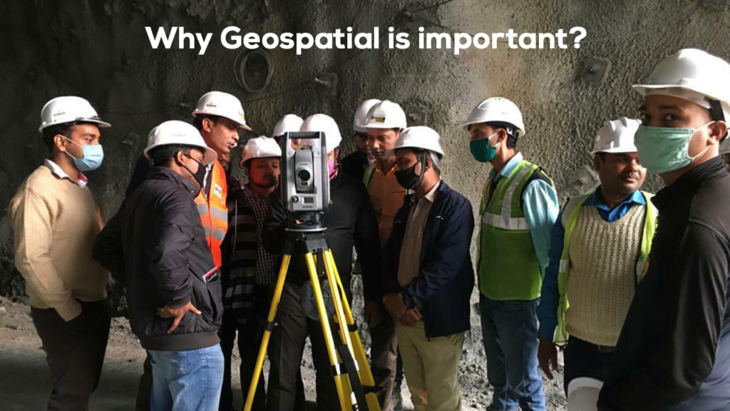
As reliance on GNSS grows, so does the threat of interference, jamming, or spoofing. In defense, critical infrastructure, and industrial scenarios, protecting positioning integrity is vital.
Some strategies and trends:
- Signal authentication and encryption.
- Redundant or hybrid PNT (using inertial sensors, complementary terrestrial systems).
- Monitoring and detection of anomalies in signal behavior.
- Algorithmic measures to detect spoofed satellites or inconsistent observations.
- These resilience features are becoming more critical in sectors like mining, where mispositioning can have serious safety or financial implications.
Precise Point Positioning (PPP) & Augmented Services
While Real-Time Kinematic (RTK) techniques remain dominant for survey-grade precision, PPP (Precise Point Positioning) is gaining traction, especially for remote or network-sparse areas. PPP is a technique that uses precise satellite orbit/clock data and sophisticated modeling to correct errors and deliver centimeter- to decimeter-level accuracy, often without requiring a nearby reference station. Moreover, augmentation services (e.g., SBAS, regional augmentation networks, Real-Time Networks (RTN)) are evolving to support multi-frequency, multi-constellation correction data. These allow faster convergence, higher reliability, and broader coverage.
Integration with Other Systems: GNSS + 5G, Inertial, Sensor Fusion
To tackle environments where satellite signals degrade (deep pits, steep slopes, heavy foliage, tunnels), GNSS increasingly is being fused with:
Inertial Measurement Units (IMUs)
- LiDAR / Laser scanners
- 5G / cellular communications
- Vision / optical systems
For example, combining GNSS with 5G signal observations improves attitude determination and continuity in urban contexts, and similar hybrid approaches can help in complex mining environments. Ultra-tight coupling (where GNSS tracking and inertial navigation are interwoven at a deep level) is another research direction enabling robust performance under signal disruption.
Here’s an overview about Trimble GNSS Systems
Integrated and Modular GNSS Systems for Surveying and Mapping
Trimble delivers reliable, high-performance GNSS solutions that empower surveyors and GIS professionals to capture accurate data in any environment.
With integrated and modular configurations, Trimble systems adapt seamlessly to diverse project needs, from precision surveying to advanced mapping.
Powered by the Trimble ProPoint™ GNSS engine, professionals can achieve superior positioning accuracy even in challenging environments. Combined with the Trimble Inertial Platform (TIP), users can measure points faster and more efficiently, even when the survey pole is tilted. Trimble continues to set the industry benchmark for innovation, reliability, and field productivity.
For any queries, you can reach out to us at info@allterra.co.in