Government
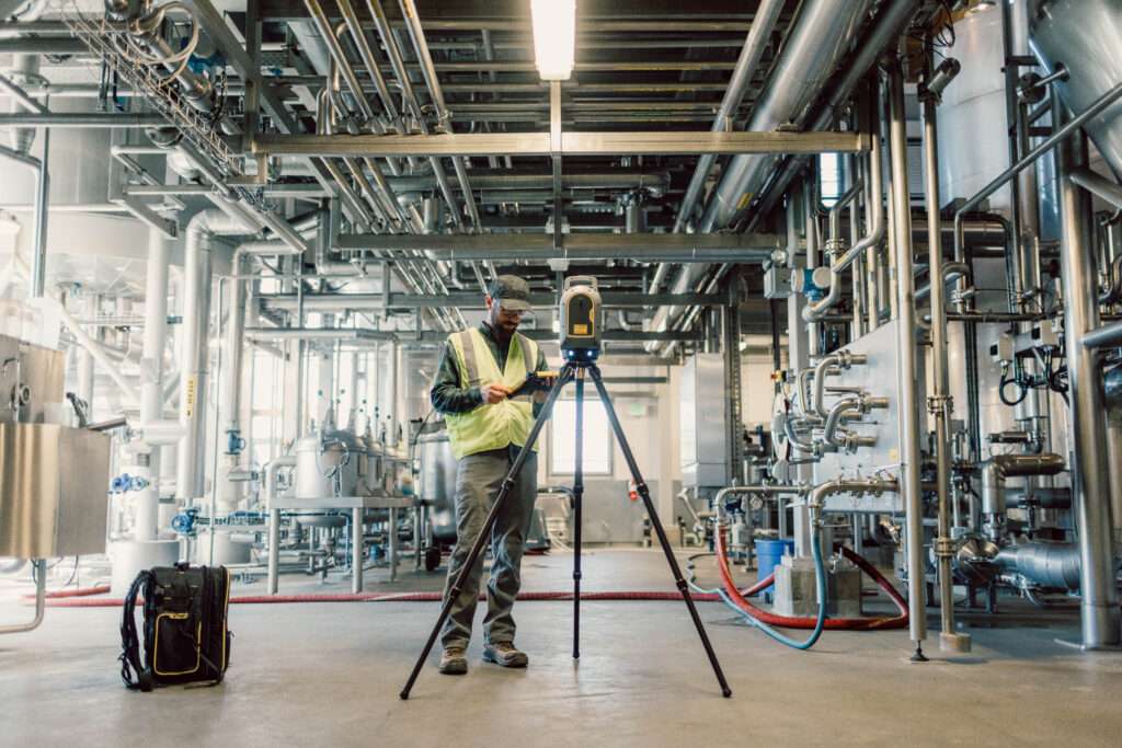
AllTerra Solutions LLP leverages its rich experience of Geospatial Technology, in contributing to various government sectors- civil or defence. Through its domain expertise, AllTerra Solutions LLP has been participating in our national growth, year after year. Geospatial technology enhances the effectiveness of armed forces in several ways. It provides real-time location data, enabling better situational awareness and more informed decision-making during operations. Geospatial intelligence aids in accurate mission planning, target identification, and tracking enemy movements, improving operational precision and reducing collateral damage.

