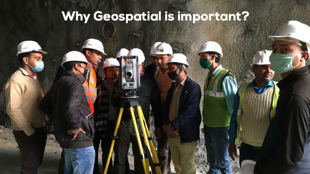
In today’s rapidly urbanizing world, the need for smarter, more sustainable development has never been greater. Whether it’s planning a new residential community, improving transportation infrastructure, or managing public utilities, Geographic Information Systems (GIS) are at the heart of modern land development and urban planning. India is urbanizing at an unprecedented pace. With over 400 million people living in cities and millions more migrating to urban areas each year, the need for smart, sustainable, and inclusive urban development is more urgent than ever.
In this context, Geographic Information Systems (GIS) have emerged as a game-changing technology, revolutionizing how land is developed and how cities are planned across the country.

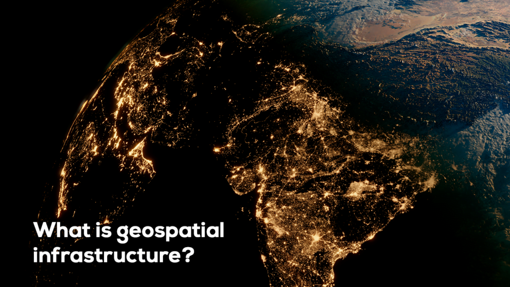
What is GIS?
GIS, or Geographic Information Systems, is a technology that captures, stores, analyzes, and visualizes spatial and geographic data. It enables planners, developers, and government agencies to make data-driven decisions by revealing patterns, relationships, and trends that would be difficult to see otherwise. Explore all about Trimble’s solutions for the construction segment.

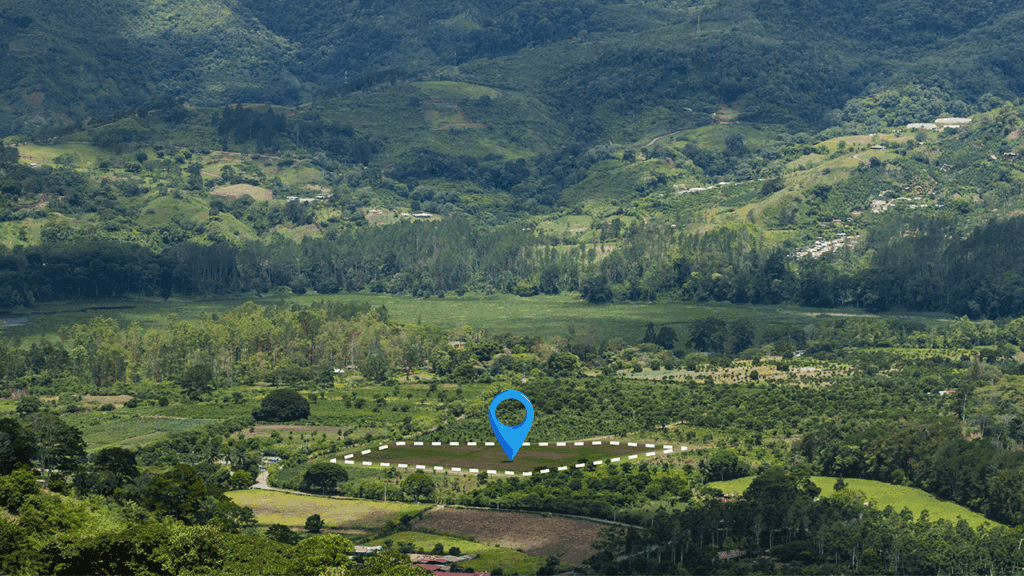
1. Smarter Site Selection
Choosing the right site is crucial for any land development project. GIS streamlines this process by overlaying various datasets such as:
- Topography and soil type
- Flood zones and environmental hazards
- Zoning regulations
- Proximity to infrastructure and utilities
By analyzing these factors together, developers can identify optimal locations and avoid costly pitfalls.
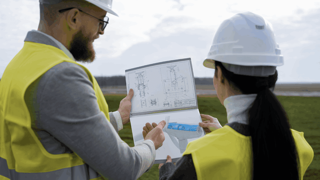
2. Enhanced Planning and Design
GIS helps urban planners design cities that are more livable, efficient, and sustainable. Planners can use GIS to:
- Map current land use and visualize proposed changes
- Model transportation systems and traffic flows
- Optimize public services like schools, hospitals, and emergency response
- Evaluate environmental impact before construction begin
This holistic view ensures that development is aligned with both community needs and environmental concerns.
3. Public Engagement and Transparency
Urban planning isn’t just about data and maps — it’s also about people. GIS makes it easier to communicate complex plans to the public. Interactive maps and 3D visualizations help citizens understand how proposed developments will affect their neighborhoods.
Open access GIS portals also foster transparency, encouraging public feedback and fostering trust between communities and planners.

4. Infrastructure and Utility Management
Land development involves integrating infrastructure like roads, water supply, sewage, and electricity. GIS supports:
- Accurate mapping of existing utility networks
- Planning for future expansion
- Monitoring maintenance needs
- Detecting potential conflicts before construction begins
This reduces delays, cuts costs, and ensures that infrastructure supports long-term growth.
5. Risk Management and Resilience Planning
From natural disasters to climate change, cities face numerous risks. GIS allows planners to:
- Model flood zones and wildfire risks
- Prepare emergency response plans
- Design developments with resilience in mind
- Simulate future scenarios to guide long-term strategy
By integrating risk assessment into the planning process, GIS helps build safer, more resilient communities.

Conclusion
GIS is no longer a luxury—it’s a necessity for smart land development and urban planning. It brings data, design, and decision-making together in a way that empowers planners and improves outcomes for everyone. As cities continue to grow, GIS will play a critical role in shaping the sustainable, inclusive, and efficient communities of the future.