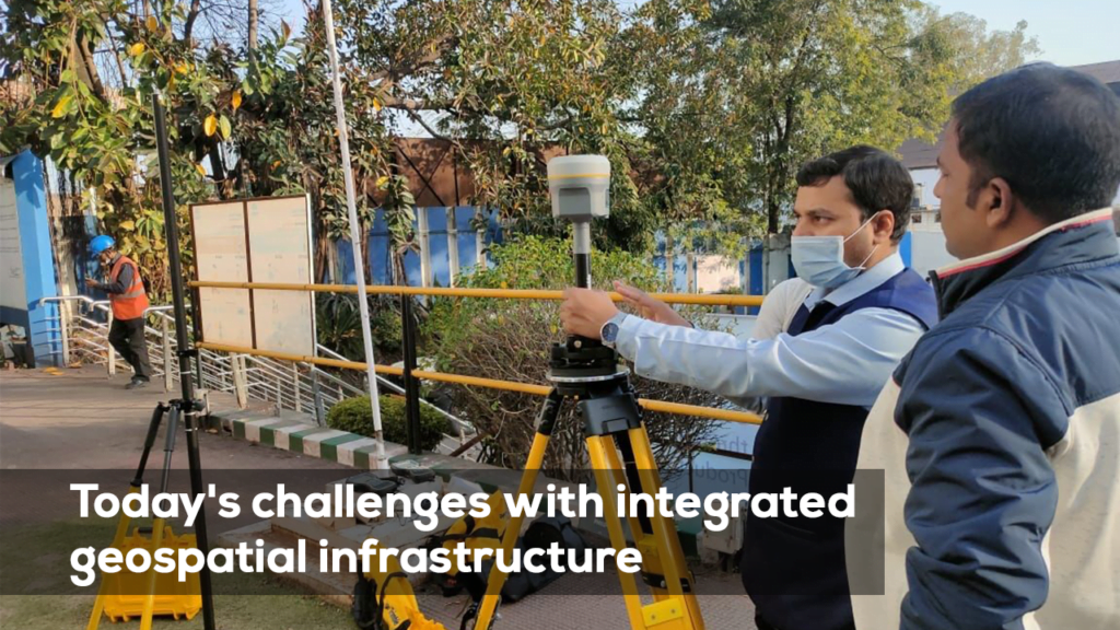
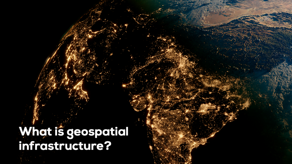
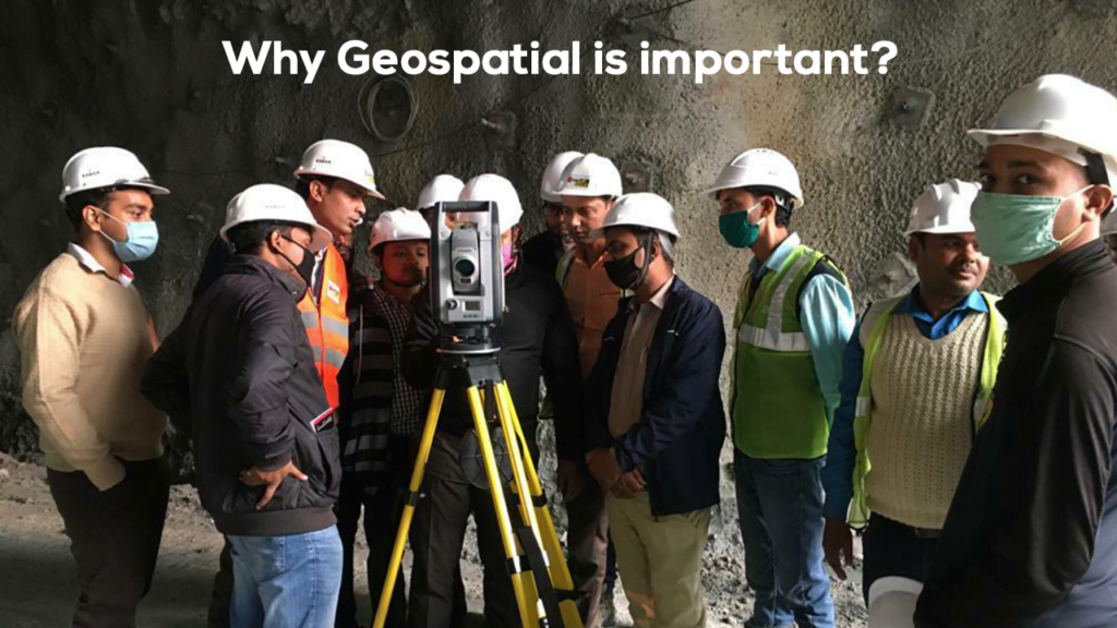
In a world driven by data, the ability to integrate, share, and analyze geospatial information across borders, sectors, and industries is more important than ever. Geospatial infrastructure plays a critical role in enabling seamless collaboration and data sharing, helping to solve global challenges such as climate change, disaster management, and sustainable development.
Trimble is at the forefront of this transformation, offering advanced geospatial infrastructure solutions that enhance cross-border collaboration, improve efficiency, and support data-driven decision-making across various industries. In this blog, we explore the key challenges of today’s integrated geospatial infrastructure and how Trimble’s solutions address these challenges.
1. Cross-Border Integration: Seamless Global Collaboration
In an increasingly interconnected world, cross-border integration of geospatial data is essential for tackling complex, global issues. Whether it’s monitoring climate change, managing natural disasters, or optimizing international supply chains, geospatial infrastructure enables the seamless sharing of location data across borders, jurisdictions, and sectors.
Trimble’s geospatial solutions are designed to facilitate this global collaboration. Trimble Connect, for instance, is a cloud-based platform that allows users to access, share, and collaborate on geospatial data from anywhere in the world. By enabling stakeholders from different regions and industries to work together on shared challenges, Trimble is helping to create a more integrated and efficient global geospatial ecosystem.
2. The Evolution of SDI: A New Era of Interconnected Systems
The concept of Spatial Data Infrastructure (SDI) has evolved significantly since its inception in the 1990s. What started as a framework for sharing geographic data within national borders has now grown into a more interconnected system of systems, supported by the internet, cloud computing, and IoT technologies.
This evolution is enabling geospatial infrastructure to move beyond traditional data sharing and embrace real-time data management, analysis, and collaboration across platforms and devices. Trimble is leading this evolution by providing cutting-edge products and services that integrate geospatial data with other systems, such as building information modeling (BIM) and enterprise resource planning (ERP).
3. Collaboration and Efficiency: Connecting Organizations for Shared Solutions
One of the biggest advantages of integrated geospatial infrastructure is its ability to connect organizations and facilitate collaboration on shared challenges. Trimble’s geospatial technologies enhance this collaboration by providing a common operating platform that supports data sharing, communication, and coordination across teams. For example, Trimble Business Center allows users to combine geospatial data from different sources into one unified environment, improving data management, analysis, and collaboration.
By providing the tools needed for efficient data exchange, Trimble is helping organizations across sectors—whether in construction, agriculture, or environmental management—work together to achieve their goals.
4. Sustainable Development: Geospatial Data for a Greener Future
Sustainable development is one of the most pressing challenges facing the world today, and access to reliable, shared geospatial data is key to planning sustainable initiatives. Geospatial infrastructure provides critical insights into land use, resource management, and biodiversity, helping governments and organizations develop strategies to combat climate change and protect natural ecosystems.
5. Disaster Management: Real-Time Data for Critical Decision-Making
Effective disaster management requires real-time data to support critical decision-making during emergencies. Whether it’s predicting natural disasters, coordinating response efforts, or assessing damage after an event, geospatial infrastructure provides a common operating picture of essential data.
Trimble’s geospatial infrastructure solutions are vital tools for disaster preparedness, response, and recovery. By integrating real-time data from sources such as satellite imagery, GNSS systems, and remote sensors, Trimble enables disaster management teams to make informed decisions quickly and efficiently.
Click here to read more about Trimble’s geospatial solutions
For example, Trimble’s GIS solutions provide up-to-date maps and spatial data that can be used to monitor flood zones, track the spread of wildfires, or assess damage after an earthquake. By providing access to the right data at the right time, Trimble’s solutions support more effective disaster response and recovery efforts.


