Trimble MX50
Accessible Productivity
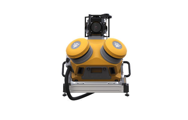
The Trimble MX50 mobile mapping system provides precise point clouds alongside immersive imagery, simplifying asset management, mapping, and maintenance tasks. Trimble MX50 will generate a step change in productivity, for both, novice as well as experienced users. It effortlessly captures, processes, extracts and shares data with proven field to finish workflows for asset mapping and asset data management.
Key Features
- Laser effective measurement rate up to 960 kHz.
- Uses high resolution 30 MP ( 6 x 5 MP) spherical camera.
- Embedded Trimble GNSS inertial system.
- Trajectory data processing is performed using GNSS and inertial data incorporated in Trimble Business Center software.
- Creates high quality CAD using data fusion capability of Trimble Business Center software.
- Avoids site revisits by sharing point clouds and images with overlaid existing asset data.
- Data acquisition is done by any smart device. High quality colorized point clouds and 360 degrees immersive imagery for best orientation.