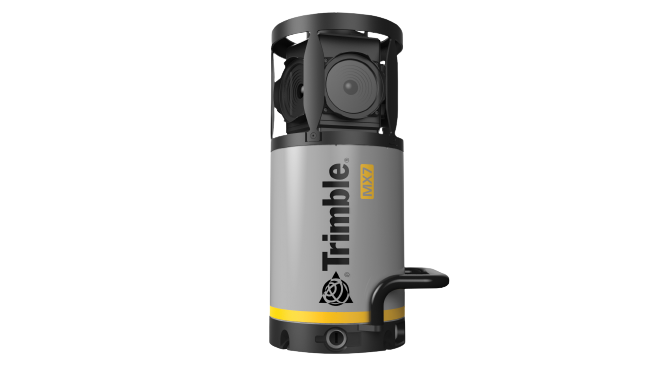
Trimble MX7
MOBILE MAPPING SOLUTION
The Trimble® MX7 is a vehicle-mounted imaging system enabling fast and productive capture of road,
infrastructure and city environmental data. Capture 360-degree road data at highway speeds, saving costs and enhancing safety. Organize and share structured data through Trimble MX software for informed decision-making.
Key Features
- Highly portable for use on any vehicle.
- Effortless setup and smart device-based operation.
- Cutting-edge Trimble GNSS and Inertial technology.
- Dedicated to 360-degree image documentation.
- Streamlined extraction of topological GIS data with easy sharing via Trimble software.