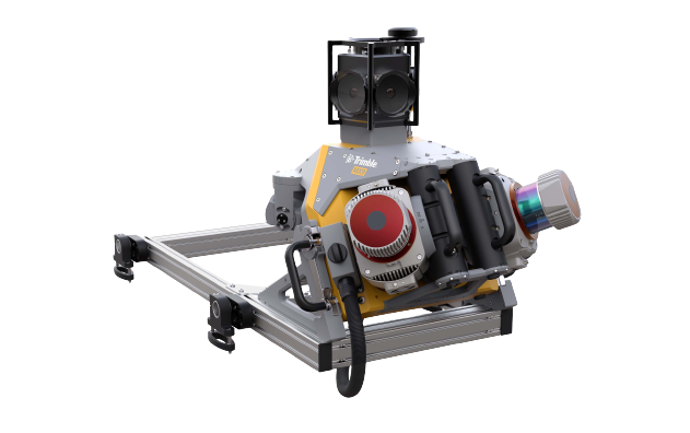
Trimble MX9
Productivity with Sophistication
The Trimble MX9 offers a comprehensive mobile mapping solution, seamlessly integrating cutting-edge hardware with user-friendly field and office software, streamlining the entire process from data collection in the field to its final processing. Advanced GNSS and inertial technology are fused with cutting-edge hardware, complemented by user-friendly field software that boasts effortless installation and operation.
Key Features
- Laser effective measurement rate up to 3.6 MHz.
- Uses high resolution 30 MP ( 6 x 5 MP) spherical camera.
- Planar cameras 2 x 12 MP side facing and 1 x 12 MP backward/ downward facing.
- Data acquisition is done by any smart device. Adjust the laser beam and oblique camera for best orientation.
- Trajectory data processing is performed using GNSS and inertial data incorporated in Trimble Business Center software.
- Creates high quality CAD using data fusion capability of Trimble Business Center software.
- Avoids site revisits by sharing point clouds and images with overlaid existing asset data.
