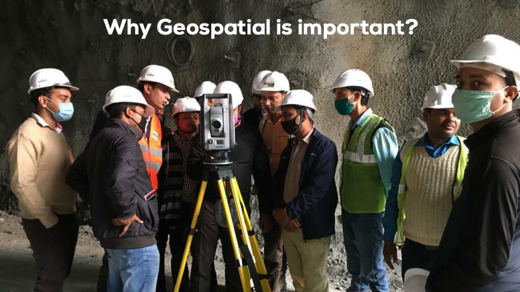
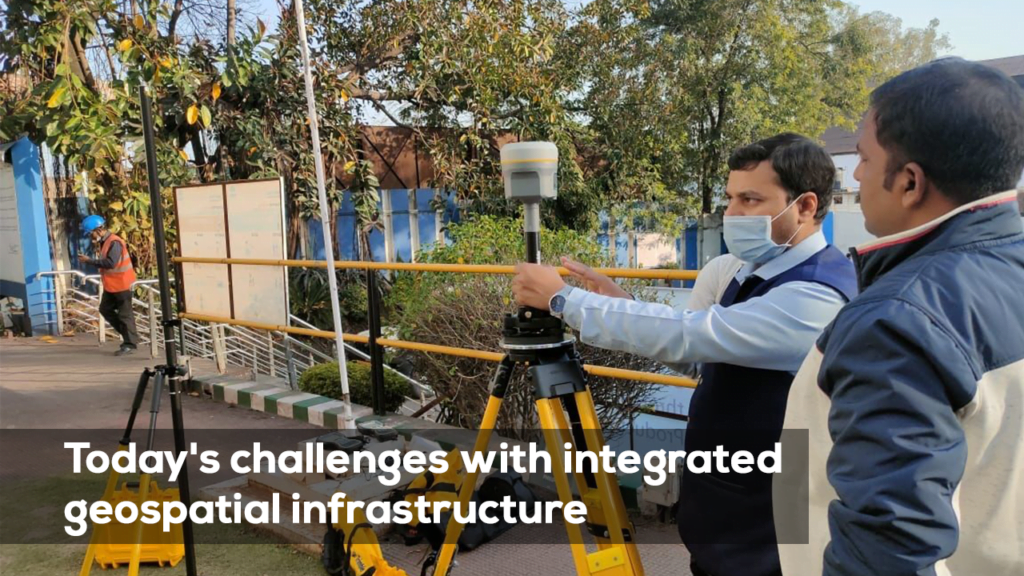
In today’s fast-paced digital world, the importance of geospatial technology cannot be overstated. From urban planning to agriculture, environmental monitoring to disaster management, geospatial technologies are reshaping the way we interact with our surroundings and make critical decisions. With advancements in GIS (Geographic Information Systems), remote sensing, and positioning technologies, geospatial data has become a powerful tool for solving global challenges and improving lives.
But what exactly is geospatial technology, and why is it so essential to modern society? In this blog, we’ll explore the various aspects of geospatial technology and its wide-ranging applications.
Evolution from SDI to Geospatial Infrastructure: While SDIs were developed in the 1990s to facilitate the sharing, viewing, and analyzing of geospatial data, geospatial infrastructure represents an evolution that includes more than just data sharing. Trimble can emphasize how its solutions have evolved to encompass a broader range of geospatial technologies and applications.
Comprehensive Inclusion: Geospatial infrastructure includes data, data models, workflows, positioning, GIS, and maps, going beyond the traditional scope of SDIs. Trimble can highlight its comprehensive suite of products and services that cover all these aspects.
Interoperability: Both SDIs and geospatial infrastructure emphasize interoperability, allowing different systems, devices, or applications to connect and exchange data seamlessly. Trimble’s focus on providing interoperable solutions that work across various platforms and systems can be a key selling point.
Historical Context and Contributions: The development of SDIs has a rich history, with significant contributions from pioneers like Dr. John McLaughlin, Dr. David Coleman, and Dr. Ian Masser. Trimble can position itself as a company that builds on this legacy by integrating advanced technologies and innovations into its geospatial infrastructure solutions.
Enhanced Capabilities and Modern Tools: Modern SDIs and geospatial infrastructure benefit from advanced tools, APIs, and international standards, which improve performance and reliability. Trimble can showcase its cutting-edge technologies, such as AI, machine learning, IoT, and cloud computing, that enhance the capabilities and reliability of geospatial infrastructure.
Geospatial Infrastructure: The Future of Data-Driven Solutions
The shift from SDIs to geospatial infrastructure is more than an evolution—it’s a transformation. Geospatial infrastructure now incorporates diverse data models, workflows, positioning systems, and advanced technologies that facilitate real-time decision-making across industries.
Trimble’s geospatial solutions provide a reliable and comprehensive system for managing geospatial data. By leveraging AI, machine learning, and IoT, Trimble is setting new standards in geospatial infrastructure, ensuring that organizations worldwide can optimize their workflows and achieve higher levels of efficiency.
Key Takeaways:
Trimble’s comprehensive solutions cover data, workflows, GIS, and positioning, making them a leader in geospatial infrastructure.
Interoperability across platforms ensures seamless data exchange and enhances decision-making.
Trimble builds on the historical contributions of SDIs by incorporating advanced technologies such as AI and cloud computing.
Trimble’s modern tools like the Trimble X7 and Trimble Connect enable industries to improve accuracy, speed, and collaboration.
The future of geospatial technology is here, and Trimble is at the forefront of this transformation, providing scalable, precise, and cutting-edge geospatial infrastructure solutions.


