AGRICULTURE
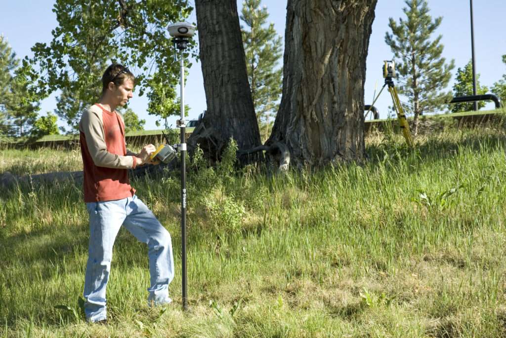
Geospatial technologies have significantly transformed agriculture by enhancing precision, efficiency, and sustainability. GPS, remote sensing, and GIS (Geographic Information Systems) enable farmers to precisely map and monitor their fields, optimizing resource allocation and crop management. Drones and satellites provide real-time data on crop health, enabling timely interventions and reducing waste. Geospatial analytics aid in predicting weather patterns and assessing soil conditions, improving yield forecasts and risk management.


Geographic Information System (GIS)
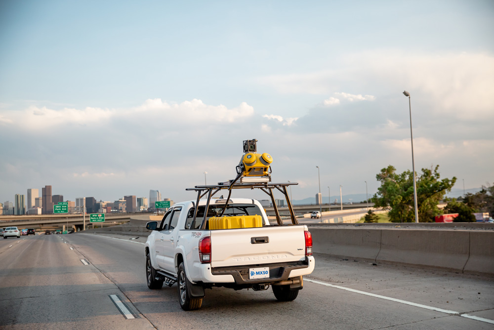
Geospatial technology plays a crucial role in land mapping by utilizing satellite imagery, GPS, and geographic information systems (GIS) to primarily capture, analyze, and visualize geospatial data in an accurate manner. This technology helps in land surveying, resource management and urban planning thus enhancing our understanding and management of land resources.


