Trimble’s field software solutions for surveying, mapping, and GIS applications offer a comprehensive approach to fieldwork management. These solutions ensure uniform and standardized data collection, expedite the time-to-deliverables, maintain seamless connectivity to the office, and enhance the competitive advantage by boosting productivity and facilitating access to new and specialized applications.
In essence, Field Software solutions cater to the diverse needs of professionals in the geospatial industry.
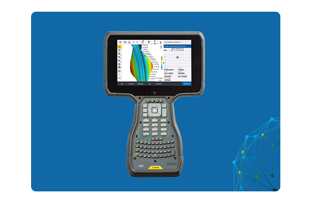
Trimble Access
Latest and Versatile
Trimble® Access™ stands out as a premier field software choice among global surveying professionals, offering capabilities that promote efficiency, precision, and user-friendly experiences through streamlined workflows using Trimble Business Center software. AutoSync option and compatibility with BIM file format make it versatile par excellence.
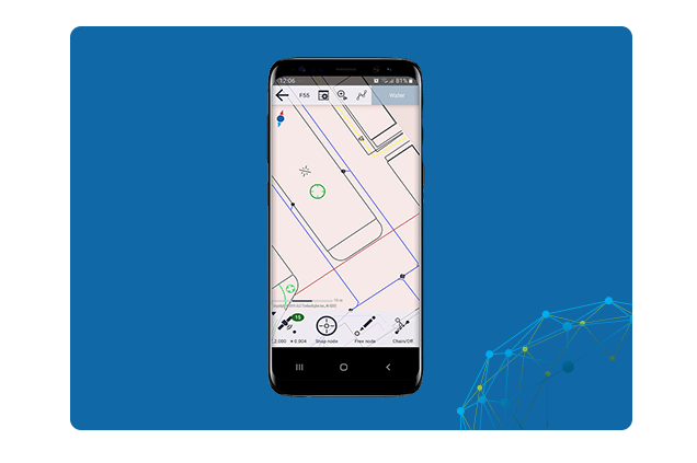
The Trimble® Penmap for Android™ mobile app represents a robust cloud-integrated tool designed for conducting cadastral field surveys and collecting high-precision GIS data. It allows on demand positioning with real-time correction sources for enhanced accuracy. It also Syncs with Trimble Connect for fast and easy data management between field to office and vice versa.
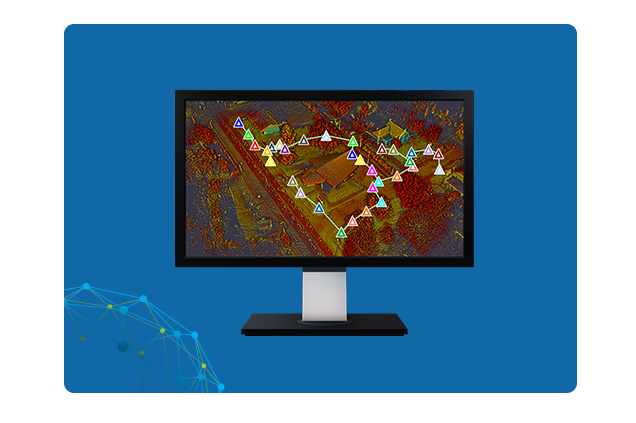
Trimble Perspective field software is designed for in-field scanning and registration while working with a Trimble 3D laser scanner. It is simple yet intuitive, allowing full control to the user in maximising field productivity with 3D visualization, measurements, annotations and georeferencing.