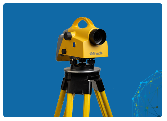
DIGITAL LEVEL
Digital Levels hold significant importance in geospatial solutions as they revolutionize height measurement in terms of accuracy and efficiency. These instruments utilize electronic sensors to provide precise and rapid height readings, outperforming traditional optical levels. In geospatial applications such as land surveying, construction, and infrastructure development, accurate elevation data is crucial. Digital Levels reduce human errors, enhance data consistency, and expedite data collection, ultimately improving project outcomes and reducing costs. They also integrate seamlessly with modern geospatial technology, allowing for real-time data capture and integration, making them indispensable tools for professionals seeking reliable and high-precision height measurements in geospatial tasks.


Trimble DiNi
Simplistic Design
Enhance your productivity with Trimble® DiNi® Level, which measures heights considerably faster than traditional automatic levelling, even in low-light conditions. Eliminate errors and reduce the need for rework using this digital height measurement sensor.


