Construction
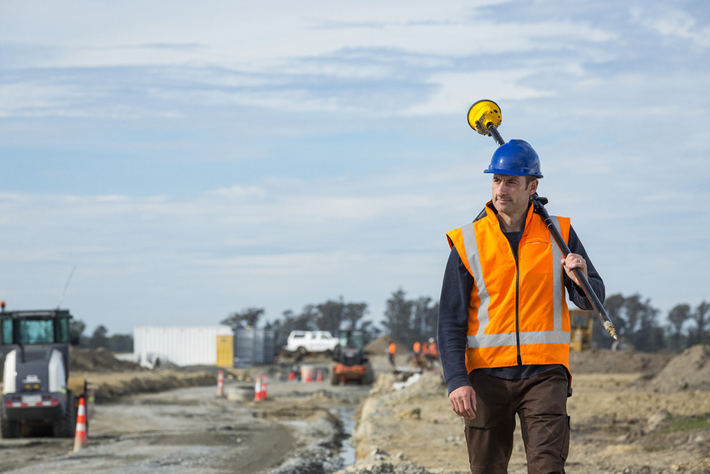
Geospatial technologies have revolutionized the construction industry by enhancing planning, efficiency, and safety. GPS and GIS (Geographic Information Systems) enable precise site mapping, aiding in project design and logistics. Drones and LiDAR offer high-resolution aerial surveys, facilitating site inspections and progress monitoring. Geographic data helps identify potential hazards and optimize safety protocols. Real-time tracking of construction equipment and materials reduces delays and cost overruns. Geospatial analytics also support sustainable construction practices by assessing environmental impacts and resource management.